
A compass bearing and a topographic map together can get you out of almost any wilderness situation — provided you know how to read them. GPS failures, dead batteries, and loss of signal happen. The underlying skill of land navigation does not expire.
This guide covers what matters for navigating in Polish terrain: the Bieszczady, Tatry, Beskid ranges, and the lowland forests that make up most of the country's wilderness areas.
Understanding Topographic Maps
Topographic maps encode three-dimensional landscape onto a flat surface through contour lines — lines that connect all points at the same elevation. The closer together those lines sit, the steeper the ground.
Key elements on a 1:25,000 or 1:50,000 map
- Contour interval — the elevation difference between adjacent contour lines. Polish military maps commonly use 10 m intervals; civilian PTTK maps vary.
- Index contours — every fifth contour line is thicker and labeled with its elevation in metres above sea level.
- Depressions — marked with tick marks pointing inward toward the low point. Easy to miss; crossing one unexpectedly wastes time.
- Grid references — most Polish maps use the PUWG 1992 or 2000 coordinate system. Note which system your map uses before you start.

Water always flows perpendicular to contour lines and always downhill. If you are lost, finding a stream and following it downstream will eventually bring you to human settlement in most of Poland's inhabited regions.
The Baseplate Compass
A baseplate compass — also called a protractor compass — is the standard tool for orienteering. The Silva Ranger and Suunto A-10 are common examples, though any quality baseplate model works. Avoid cheap tourist compasses; the needle damping is inadequate for precise bearings.
Parts worth knowing
- Magnetic needle — always points to magnetic north, not true north. In Poland, the magnetic declination is approximately +5° east (2026). This matters on longer legs.
- Rotating bezel — marked in 2° increments on a quality compass. The orienting lines inside the bezel align with map grid lines.
- Direction of travel arrow — on the baseplate, indicates the direction you intend to walk.
- Baseplate edge — used as a ruler for measuring distance against the map scale.
Taking a bearing from the map
- Place the compass on the map with one long edge along your intended route, direction-of-travel arrow pointing toward your destination.
- Rotate the bezel until the orienting lines inside it run parallel to the north-south grid lines on the map. The N mark on the bezel should point toward map north.
- Add the magnetic declination to the bearing (+5° for Poland). Rotate the bezel this extra amount.
- Hold the compass flat, rotate your body until the magnetic needle sits inside the orienting arrow ("red in the shed"). Walk in the direction the travel arrow points.
Field Note: Declination in Poland
As of 2026, magnetic declination across most of Poland ranges from +4.5° to +5.5° east of grid north. Check the declination printed in the map legend — it changes slowly over years and your map may be older than you think.
Orienteering in Polish Forest
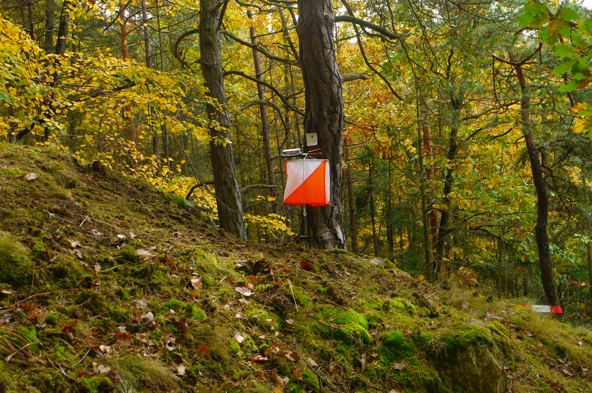
Polish coniferous forests — particularly the Białowieża area and the Mazurian lowlands — present specific challenges. Tree canopy is dense enough to block visual landmarks. Features that appear distinct on a map (clearings, drainage ditches, old tracks) often look different or have changed on the ground.
Attack points
Rather than navigating directly to a small target, navigate first to a large, unmistakable feature — a road junction, a lake edge, a ridge — then take a more precise bearing to the final objective. This is called an attack point and dramatically reduces error.
Aiming off
When navigating to a feature on a long linear object (a road, a river, a fence line), deliberately aim slightly to one side. When you reach the linear object, you know which direction to turn to reach your target. Navigating directly often leaves you uncertain which way to turn.
Handrails and collecting features
A handrail is any linear feature — a stream, a trail edge, a ridge line — that runs roughly parallel to your direction of travel and can guide you without constant compass checks. A collecting feature is a distinct landmark beyond your objective that tells you you've gone too far.
Pacing and Distance Estimation
Knowing how many double-paces you cover per 100 metres allows you to estimate distance travelled without instruments. On flat ground, most adults cover 100 metres in 60–65 double paces (each double pace = one full left-right stride). Uphill, this figure increases; downhill and in thick vegetation, accuracy drops.
Count a known distance — 100 metres along a road — and record your pace count. Repeat in both directions and average. Do this again in forest terrain; the figure will differ.
Useful External Reference
The International Orienteering Federation maintains coaching resources that cover map reading principles in depth, including control description interpretation relevant to field navigation. The Polish Tourist Country-Lovers' Society (PTTK) publishes hiking maps for most mountain and forest regions in Poland.

